District dashboard
Huon Gulf District is one of Morobe Province’s most geographically diverse and culturally rich districts, encompassing coastal, inland, and mountainous communities that contribute to its unique identity and development potential. The district’s strategic location along the Huon Gulf positions it as a key connector between maritime, agricultural, and emerging commercial activities. Its people maintain strong cultural traditions while engaging in expanding economic opportunities across rural and peri‑urban areas.
The district’s landscape supports a wide range of livelihoods—from fishing and marine harvesting along the coast, to cocoa, coffee, and fresh‑produce farming in inland communities. With growing SME activity, increasing mobility, and untapped tourism potential, Huon Gulf District is poised for coordinated development that strengthens service delivery, infrastructure, and economic resilience.
POLITICAL BOUNDARIES
The political boundaries of Huon District start in the south, where it shares borders with Oro Province and Morobe Province. It extends westward to Bulolo District and Markham District and to the north with Nawaeb District.
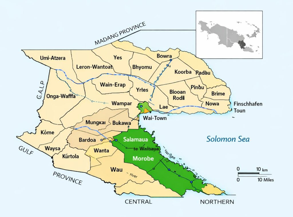
Southern Boundary — Oro Province & Morobe Province This southern edge connects Huon Gulf to the coastal and inland systems of Oro Province, creating shared cultural and maritime interactions. It also borders parts of Morobe Province itself, forming internal administrative boundaries.
Western Boundary — Bulolo & Markham Districts To the west, Huon Gulf meets Bulolo District (mining, forestry, and agriculture) and Markham District (large-scale farming and transport corridors). These districts influence trade, movement of goods, and regional development partnerships.
Northern Boundary — Nawaeb District The northern boundary links Huon Gulf to Nawaeb District, known for its rugged terrain and rural communities. This connection supports inter-district movement and shared service delivery challenges.
Huon Gulf’s boundaries position the district at a strategic crossroads where coastal and inland trade routes converge, linking maritime transport corridors with the Highlands Highway. This intersection also channels tourism flows from cruise liners and supports extensive agricultural and fisheries networks. Together, these factors make the district a natural gateway between Lae City and the surrounding rural and coastal communities, reinforcing its role as a vital connector for commerce, mobility, and development.
Geography
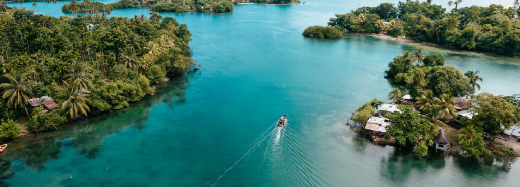
Huon Gulf District’s physical environment is defined by a combination of coastal, riverine, and mountainous terrain, each shaping the way communities live, work, and access services. The district features:
Coastal zones along the Huon Gulf, supporting fishing, tourism, and maritime transport
Mountainous inland terrain, home to traditional communities and fertile agricultural land
River systems that sustain farming, provide natural transport routes, and support freshwater ecosystems
Marine resources that underpin the livelihoods of coastal households and small‑scale fishing groups
This geographic diversity presents both opportunities and challenges for infrastructure development, service delivery, and climate resilience.
Demographic Composition
Population characteristics that influence development priorities and community needs.
Ward Distribution
The district encompasses a total of 64 Council Wards:
- Wampar LLG: 27 wards
- Salamaua LLG: 17 wards
- Morobe LLG: 20 wards
- Total: 64 wards
Linguistic & Cultural Groups
Huon Gulf District is one of the most linguistically diverse districts in Morobe Province.
Wampar LLG Groups: Mare, Wampit, Gabensis, Munum, Nasuapum, Gabmazung, Zifasing, and Tararan.
These groups are spread along the highway corridor and surrounding rural communities.
Morobe LLG Groups: Four tribes speaking four different languages.
Salamaua LLG Groups: Three different language-speaking groups.
Total Population: 124,505 people
Land Area: 5,634 km²
Population Density: 22.1 people/km²